Sažetak
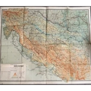
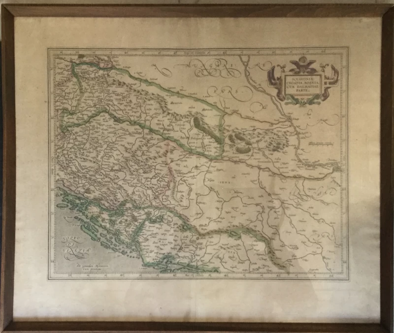
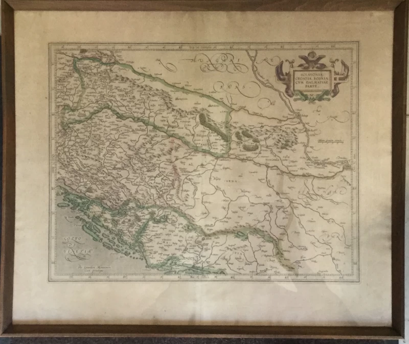
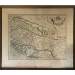
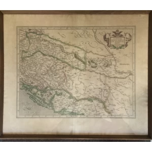
Beautiful hand colored map of the Western Balkan by G. Mercator. Showing today Slovenia, Croatia, Bosnia-Herzegovina, and Serbia, and extends from the northern banks of the Drava River to the southern reaches of the Drina River, and from Ptuj in the west to Belgrade in the east. First state of the copper plate, from the 1633 edition of the Mercator-Hondius Atlas, French text on verso.
| Cartographer | Gerard Mercator |
| Title | Sclavonia, Croatia, Bosnia cum Dalmatiae Parte |
| Publisher, Year | H. Hondius, Amsterdam, 1633 |
| Plate Size | 36.0 x 46.3 cm (14.2 x 18.2 inches) |
| Sheet Size | 47.7 x 56.5 cm (18.8 x 22.2 inches) |
| Reference | Van der Krogt, P.: Koeman's Atlantes Neerlandici, 7601:1.1
U ODLIČNOM STANJU-UOKVIRENA |
Još nema recenzija za ovaj proizvod.
Preko 50000 artikala
Velika kolekcija naslova
Besplatna dostava
Za narudžbe iznad 70 €
Brza dostava
Hrvatska pošta - naš partner u dostavi
Sigurna kupovina
SSL certifikat i WSPay